Hurricane risk: What the future holds for Canada
Canada will be increasingly at risk for more frequent and severe hurricanes going forward due to climate change, Swiss Re told Canadian Underwriter in an interview Friday.
“Sea surface temperatures [are] rising, which means storms will be able to travel further north than in the past,” said Dipika Deol, head of P&C treaty underwriting, Canada & English Caribbean and senior vice president at Swiss Re. “The average sea surface temperature, particularly just south of the eastern Canadian provinces… are much warmer than they used to be.
“This northward track is going to be more active. We are anticipating more activity—more hurricanes, more post-tropical cyclones—to impact eastern Canada.”
Deol spoke with Canadian Underwriter late Friday morning in advance of Hurricane Fiona’s expected landfall in eastern Nova Scotia early Saturday morning. The latest forecast from Environment Canada (EC) predicts very heavy rainfall and severe winds for Atlantic Canada and eastern Quebec and a “high likelihood of storm surge for parts of Nova Scotia, the Gulf of St. Lawrence and western Newfoundland.
“Simply put, Fiona looks to be one of the strongest transitioning hurricanes ever to impact Atlantic Canada,” Deol said. “The most damaging northeast U.S. as well as Canada hurricanes on record, they involve this kind of setup we’re seeing for Hurricane Fiona.”
Category 2 hurricane winds (about 150-175 km/h) winds are expected, with potential gusts up to Category 3 strengths (178-208 km/h). EC expects widespread rainfall amounts of 100 to 200 mm, with more than 200 mm likely closer to the path of Fiona.
Hurricane Fiona’s projected path into Atlantic Canada. Photo: Canadian Hurricane Centre.
“Most regions will experience hurricane force winds,” EC said in a tropical cyclone statement. “Similar cyclones of this nature have produced structural damage to buildings. Wind impacts will be enhanced by foliage on the trees, potentially causing prolonged and widespread utility outages.”
From a historical context, the last hurricane to hit Canada was Igor in 2010. Adjusted for 2022 dollars (including inflation), Igor, which impacted Newfoundland, would cost US$268 million, Deol said. Hurricane Juan, which made landfall as a Category 2 hurricane near Halifax, would cause US$223 million in economic damage. Dorian, which made landfall as a post-tropical storm in 2019, would cost US$169 million. “Losses can be quite significant,” Deol said.
When it comes to modelling hurricane risk, Swiss Re is looking more at the current climate than historical conditions. “If we’re looking at the last 25 years, even the last 10 years, they look quite a bit different than the last 100 years, which is what most of these tropical cyclone models that we have available in the industry take [into account].”
For example, Swiss Re now explicitly models “flooding from tropical cyclone-induced rainfall that been calibrated to this forward-looking view of rainfall probabilities and intensities rather than, again, long-term historical average rainfall,” Deol said.
The last few years have seen increased hurricane activity in the Atlantic, and the impacts are looking more severe, she said. “When Hurricane Andrew struck Florida 30 years ago, it was a US$20 billion loss event and that had never occurred before. But just in the past five years, we’ve had four hurricanes with insured losses above that 20 billion-dollar threshold.
“What we’re concerned about is that this could very well become the ‘new normal,’” she said. “Our industry needs to look at hurricanes through a different and somewhat evolved perspective. We believe that the insurance industry at large is underestimating the hurricane risk.”
Swiss Re’s North Atlantic tropical cyclone model takes into consideration the current knowledge of climate change (which continues to evolve) and new learnings and improved scientific understanding.
“On that front, it’s quite staggering,” Deol reported. “We have observed 30% higher occurrences of hurricanes in categories one through five. And we’ve seen a 60% higher occurrence of major hurricanes (category three to five).
“And we’ve been seeing this 30% and 60% higher current rates over the past 25 years, which looks very different compared to the long-term average.”
Another consideration is urban sprawl due to demographics.
“With urbanization increasing and more and more people living by the coasts, we’re also putting a lot more in harm’s way,” Deol said, meaning damages could potentially increase.
“Looking at just the last couple of years, what we’ve seen in Canada, we know there’s been a demographic shift where a lot of Canadians have moved to the maritime provinces. It’s worth ensuring that both existing people living in the Maritimes as well as the newer residents stay informed with the government alerts and prepare themselves for hurricanes.”
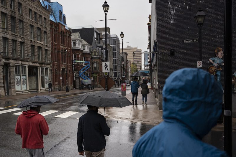
Feature image: Pedestrians shield themselves from heavy rain falling ahead of Hurricane Fiona making landfall in Halifax, Friday, Sept. 23, 2022. THE CANADIAN PRESS/Darren Calabrese


